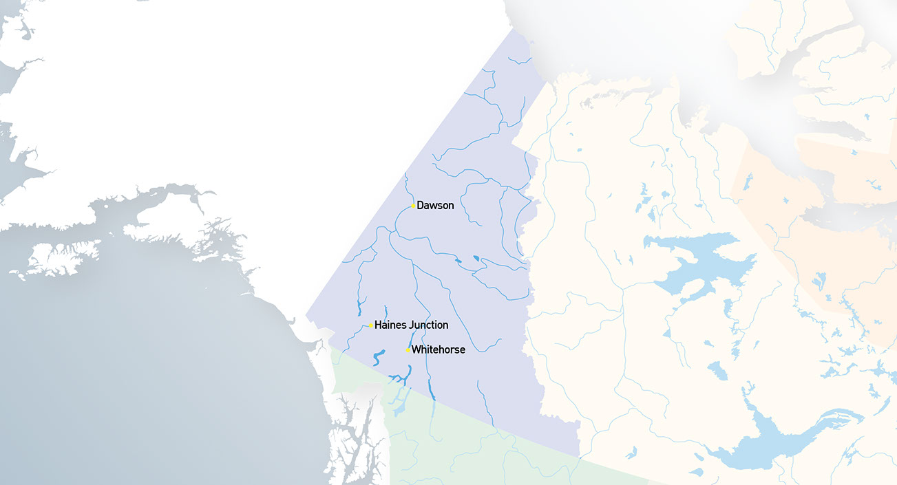


Le 13 juin 1898, le Yukon s’est séparé des Territoires du Nord-Ouest pour devenir le deuxième territoire du Canada. Le Yukon est principalement connu pour la ruée vers l’or du Klondike à la fin du 19e siècle qui a amené des milliers de nouveaux habitants dans la ville de Dawson et dans l’environnement dur du Nord du Canada. C’est au Yukon qu’on retrouve la plus haute montagne canadienne, le Mont Logan, la seule autoroute au monde qui traverse le cercle arctique, ainsi que le « Yukon Quest », la course de traîneaux à chiens la plus difficile au monde.


Copyright @ 2024 Martin Gregus, One 50 Canada Society. All rights reserved. Designed by LEBO advertising
"One 50 Canada" word mark, "One 50 Canada"logo and "Thank you Canada" are trademarks of Martin Gregus
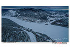


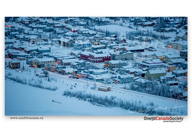


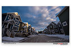
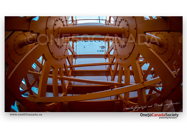
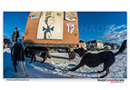
Once a booming gold town today Dawson City is largely a tourist destination, though lots of gold still remains buried deep beneath the Klondike it is mostly to expensive to mine out. The buildings in Dawson still have to keep to the visual standards of the 19th century with the only change being the dozens of dogs arrive that arrive here every year on their 1000 mile run from Fairbanks to Whitehorse.
x
x
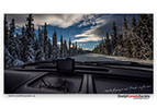

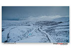

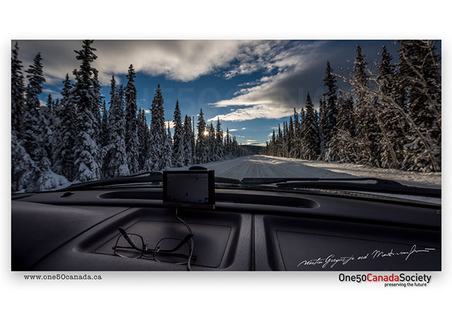


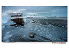
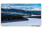
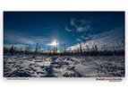
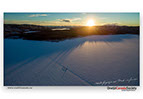
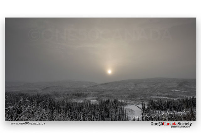
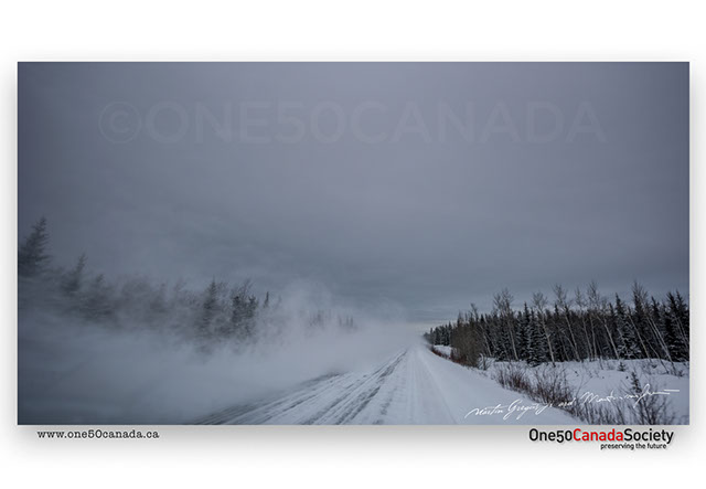
Winter anywhere yet alone in the Arctic can be unpredictable, hence why out trip along the Dempster was everything, but planned. Being the only road that crosses the arctic circle and the most northerly road in Canada the Dempster Highway is nothing short of magical. Unfortunately being a day behind schedule and traveling with the northern storms we only made it as far as Tombstone, regardless we are sure to return next year.
x
x


What was once the main highway for thousands of gold miners traveling by ship to Skagway and then by foot along the Chilkoot Trail to cities like Carcross and Whitehorse; this stretch of high coastal mountains being one of the toughest barriers. Each man had to carry two tones of equipment in order to enter Canada and though many times they had to cross in the winter today the park closes to many visitors as the first snow hits in the autumn.
x
x

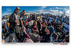


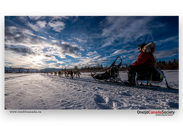


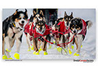
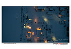
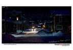
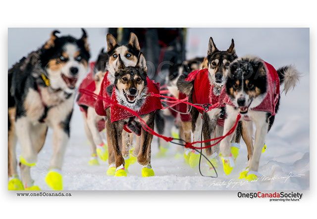
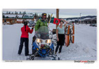
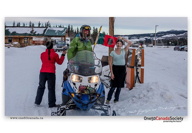
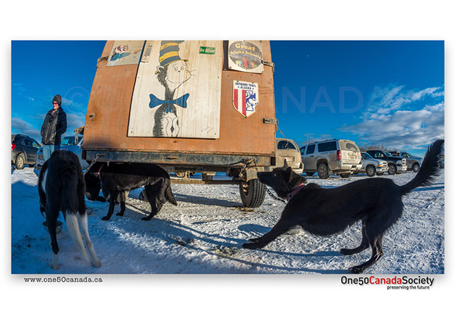
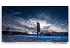
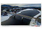
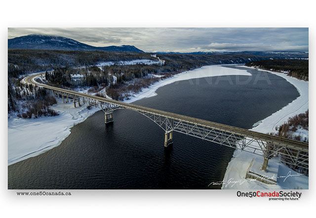
The capitol of Yukon and also the finish line for the Yukon Quest 2016, Whitehorse like many other Canadian cities is surrounded by wilderness. However once a year the wilderness comes into the city as the musher's finish or start their 1000 mile race switching between cities every year. It was a crazy experience to follow this years race from the American border right into town where we and hundreds of other people waited for the dogs.
x
x
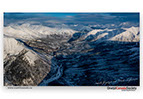
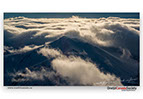
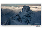
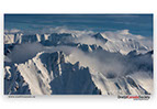
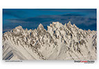


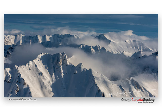
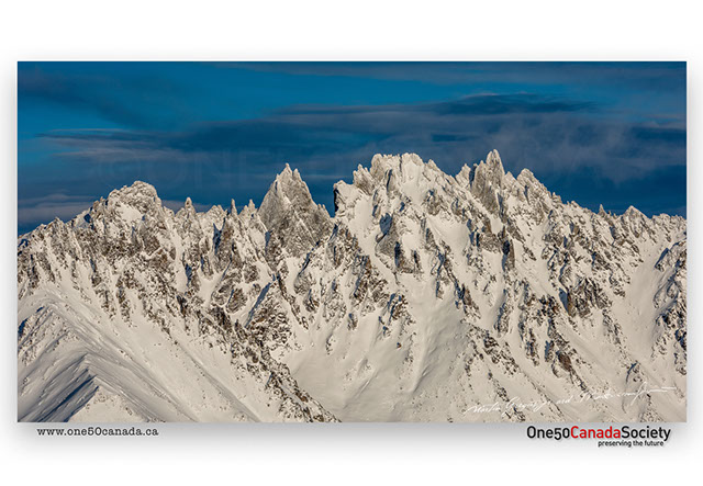

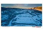
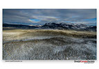
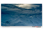
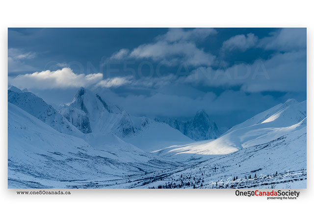
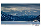
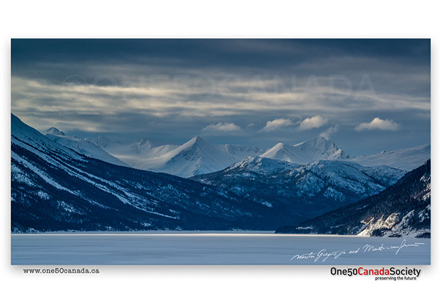
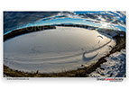
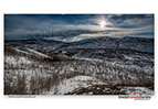
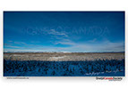
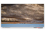
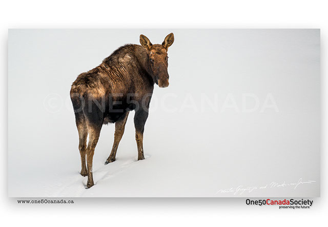
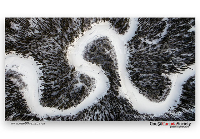
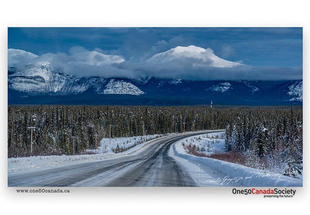
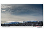
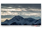
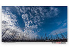
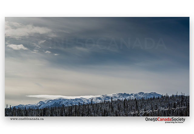
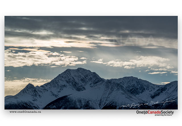
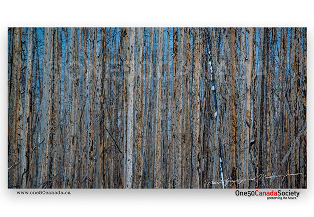
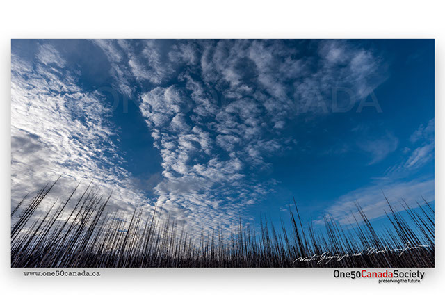
Home to some of the wildest arctic scenery imaginable the Ogilvie Mountain Range and Tombstone Territorial Park is a place best seen from the air. Though largely accessible by the Dempster Highway this area is home to some of the largest caribou migrations in the world. Heavily visited in the summer for its beauty the park is mostly abandoned in the winter as the snow drifts from the snow capped mountains.
x
x

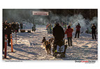
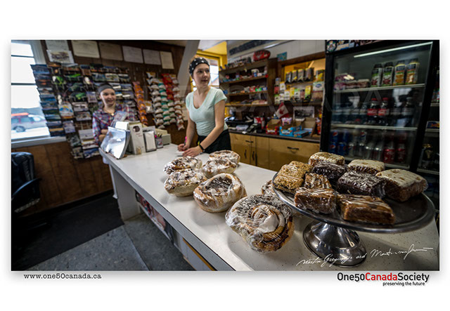
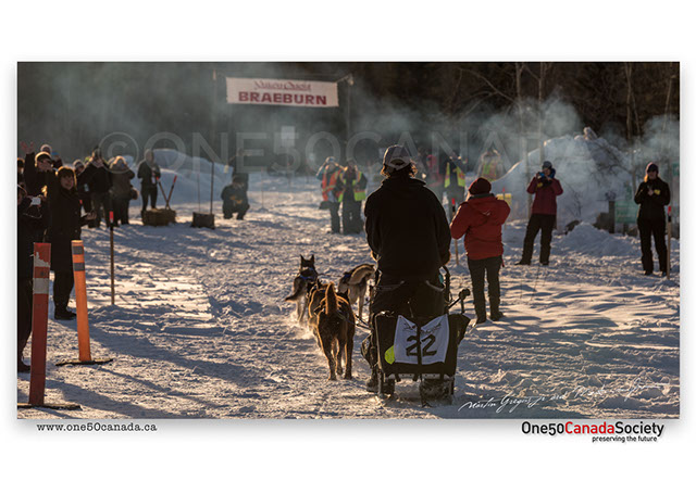


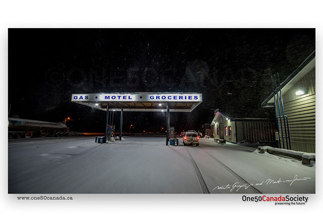
It's not often that we arrive in one spot and stay there for hours waiting and waiting, but what better place to wait than Braeburn. Though most famous for what are the largest cinnamon buns we have ever seen, the burgers were even better; so good in fact that you want to visit Yukon just to have one. It is no wonder that the musher's have to stay here for eight hours before the last push to the finish.
x
x


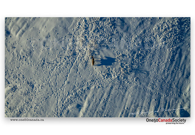
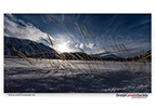
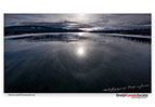
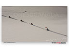
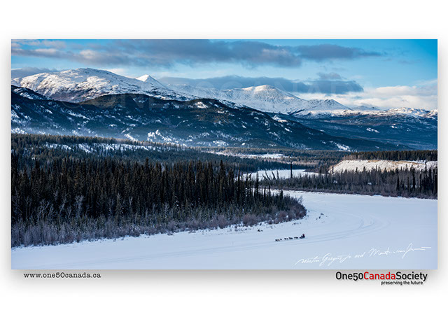
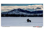
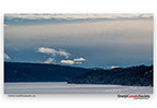
In search of an image which showcases the Yukon Quest for what it really is; a race through untouched wilderness we had to cross the map with the race tracker. Doing this took us to a stretch of Yukon between Pelly Crossing and Carmacks where the musher's cross dozens of frozen lakes just after crossing the last large set of mountains from Dawson City.
x
x


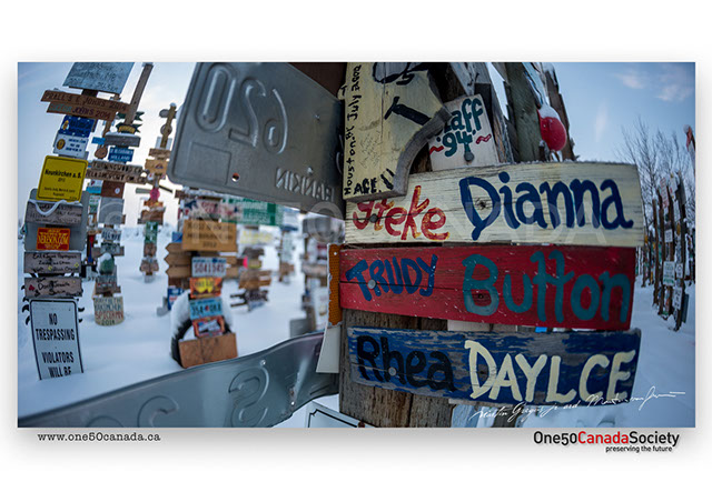


Home to the unique sign post forest which holds more foreigners than the town itself we often wondered how all the signs made it to Watson Lake in the first place. Every missing sign from all over the world had somehow made its way into this town to be nailed to a post for all to see.
x
x

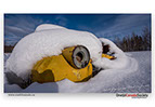

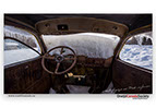


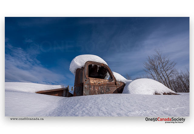

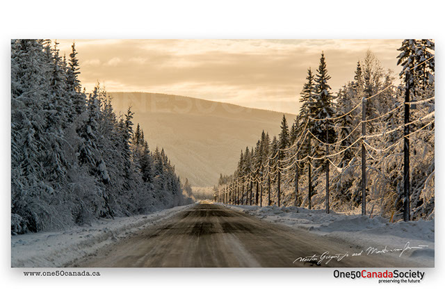
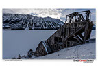
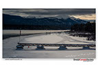
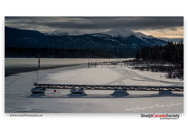
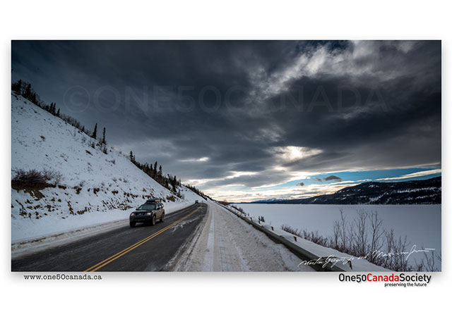
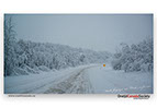
With the amounts of roads slowly, but steadily decreasing as you travel further north meant we often passed the same landmarks and cities as we crossed Yukon, often changing a lot within the couple of days we were gone. Teslin, Johnsons Crossing and the infamous car graveyards from the second world war along Highway 6 to Ross River were one of those things that we could not see before due to the snow storms, luckily now we had a clear and sunny day.
x
x


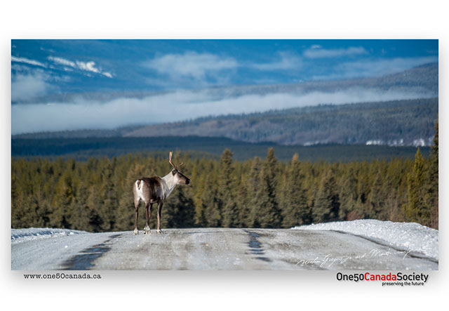

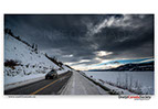
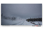
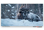
One day behind schedule we finally crossed into Yukon, then back into BC and then back again... On a rather weird part of Highway 1 which detours back into British Columbia for over thirty minutes all we wanted to do was get into town as the arctic night descended on the caribou zigzagging the highway.
x
x